

2026 Southern Xinjiang Low Altitude Travel Photography 6 Day Private Car Tour with Driver Guide Familiar with High Altitude Panoramic Photography Spots Pricing and Recommended Itinerary
Contact Manager Guo Jing at phone number 18139622229 or WeChat 18139622229 to send itinerary and quotation.
Icon introduction:🌄✨【2026 Southern Xinjiang Low-Altitude Travel Photography 6-Day Custom Vehicle Itinerary】Explore the Pamir Plateau and unlock new perspectives for high-altitude panoramic shots!
Southern Xinjiang, a land interwoven with snow-capped mountains, deserts, and oases, is not just a paradise for adventurers but also a wellspring of inspiration for photography enthusiasts. In 2026, with the rise of low-altitude travel photography, more and more tourists are choosing to overlook the glaciers of Muztagh Ata, the purity of Baisha Lake, and the winding Panlong Ancient Road from helicopter or drone perspectives. This 6-day custom vehicle itinerary, accompanied by a professional driver-guide throughout, familiar with various high-altitude panoramic shooting locations, helps you easily capture “the masterpiece of your life”!
I. Detailed Introduction to Itinerary or Destinations
The core area for low-altitude travel photography in Southern Xinjiang is concentrated along the route from Kashgar to Taxkorgan (Tashkurgan), covering iconic attractions such as the Pamir Plateau, Karakul Lake, Muztagh Ata, Baisha Lake, and the Panlong Ancient Road. With high altitudes and complex terrain, this unique landscape provides excellent conditions for low-altitude photography:
Muztagh Ata:Standing at 7,546 meters with year-round snow, it is known as the “Father of Ice Mountains.” From high above, glacier cracks intertwine with snow lines, forming stunning geometric patterns.
Baisha Lake:The lake’s milky white color, due to mineral deposits, contrasts sharply with the distant snow-capped mountains. When flying low with a drone, you can capture the layered reflections on the lake’s surface and the sand dunes.
Panlong Ancient Road:With 64 hairpin turns winding along a 4,000-meter-high mountain ridge, aerial shots capture the winding road as a giant dragon coiling, offering a powerful visual impact.
Taxkorgan County:A melting pot of various ethnic groups, the ruins of the Stone City and the morning mist over Golden Grassland add a rich ethnic flavor to humanistic photography.
II. Simple Itinerary
Day 1:Gather in Kashgar → Obtain travel permit → Baisha Lake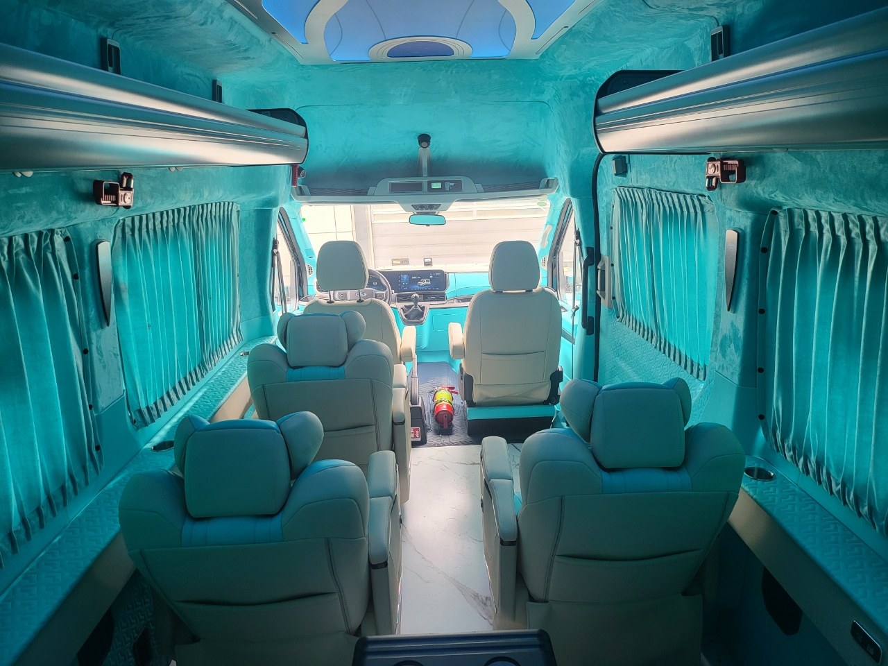

Icon introduction: 🌄✨【2026 Southern Xinjiang Low-Altitude Travel Photography 6-Day Custom Vehicle Itinerary】Explore the Pamir Plateau and unlock new perspectives for high-altitude panoramic shots!Morning:Arrive in Kashgar and obtain a travel permit (bring original valid identification in advance).
Afternoon:Travel by vehicle to Baisha Lake, photographing Kongur Tagh and the Bulunkou Sand Dunes along the way.
Evening:Capture drone shots from the north shore of Baisha Lake, catching the golden lake surface at sunset.
Accommodation:Characteristic homestay near Baisha Lake.
Day 2:Baisha Lake → Karakul Lake → Muztagh Ata
Morning:Head to Karakul Lake to photograph reflections of the lake and Muztagh Ata.
Afternoon:Optional self-paid helicopter low-altitude flight to overlook the full view of Muztagh Ata’s glaciers.
Evening:Photograph the starry sky by Karakul Lake, with the driver-guide assisting in adjusting camera settings.
Accommodation:Comfortable hotel in Taxkorgan.
Day 3:Taxkorgan → Panlong Ancient Road → Wakhan Corridor
Morning:Traverse the Panlong Ancient Road, with the driver-guide making multiple stops for convenient drone aerial photography.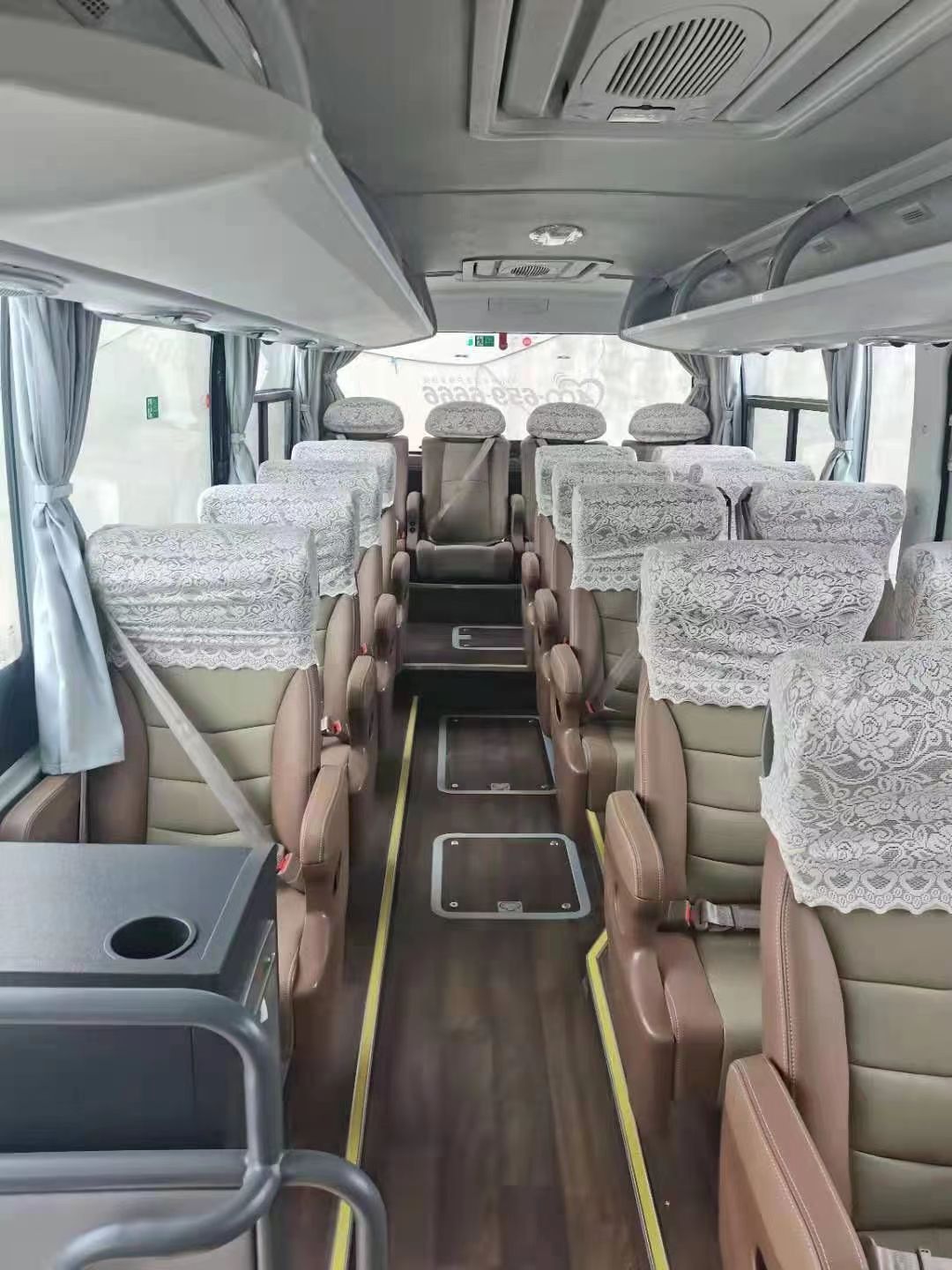
Southern Xinjiang, a land interwoven with snow-capped mountains, deserts, and oases, is not just a paradise for adventurers but also a wellspring of inspiration for photography enthusiasts. In 2026, with the rise of low-altitude travel photography, more and more tourists are choosing to overlook the glaciers of Muztagh Ata, the purity of Baisha Lake, and the winding Panlong Ancient Road from helicopter or drone perspectives. This 6-day custom vehicle itinerary, accompanied by a professional driver-guide throughout, familiar with various high-altitude panoramic shooting locations, helps you easily capture “the masterpiece of your life”!Afternoon:Visit the Wakhan Corridor to photograph the scenery (follow relevant regulations).
Evening:Return to Taxkorgan for free photography of the Stone City ruins and Golden Grassland.
Accommodation:Same as in Taxkorgan.
Day 4:Taxkorgan → Taghman Wetland → Kashgar
Morning:Travel to Taghman Wetland to photograph the plateau wetland against a backdrop of snow-capped mountains.
Afternoon:Return to Kashgar, photographing the Oytagh Red Valley along the way.
Evening:Arrive at Kashgar Old Town for free photography of the night scene.
Accommodation:Characteristic homestay in Kashgar Old Town.
Day 5:In-depth Travel Photography in Kashgar Old Town
All day:The driver-guide leads visits to old teahouses, century-old houses, bazaars, etc., providing composition suggestions and shooting locations.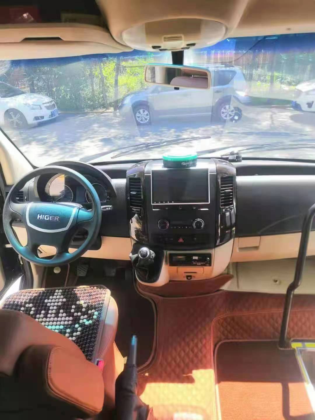
I. Detailed Introduction to Itinerary or DestinationsSpecial Experiences:Watch traditional dance performances by various ethnic groups and photograph humanistic documentaries.
Accommodation:Same as in Kashgar.
Day 6:Kashgar → Airport/Train Station Drop-off
Morning:Free activities; you can purchase handicrafts as souvenirs.
Afternoon:Airport/train station drop-off according to flight/train schedule.
III. Pricing Information
Reference for the cost of the 2026 Southern Xinjiang Low-Altitude Travel Photography 6-Day Custom Vehicle Itinerary is as follows (subject to contract):
Vehicle Options:
7-seater business vehicle (e.g., Buick GL8):Suitable for 4-6 people, with an average daily cost of approximately 1,500-2,000 yuan (30% higher during peak season).
Hardcore off-road vehicle (e.g., Toyota Prado):Suitable for complex road conditions, with an average daily cost of approximately 1,800-2,500 yuan.
Cost Includes:Vehicle usage fee, fuel fee, road and bridge fees, driver service fee, and basic insurance.
The core area for low-altitude travel photography in Southern Xinjiang is concentrated along the route from Kashgar to Taxkorgan (Tashkurgan), covering iconic attractions such as the Pamir Plateau, Karakul Lake, Muztagh Ata, Baisha Lake, and the Panlong Ancient Road. With high altitudes and complex terrain, this unique landscape provides excellent conditions for low-altitude photography:Cost Excludes:
Round-trip transportation costs to Kashgar.
Entrance tickets to scenic spots (e.g., Karakul Lake 45 yuan/person, Muztagh Ata Glacier Park 120 yuan/person).
Self-paid low-altitude flight projects (helicopter approximately 2,000 yuan/person/10 minutes, drone rental approximately 300 yuan/day).
Accommodation and dining (assistance with reservations available, at your own expense).
Single registration:Every effort will be made to coordinate room sharing; special circumstances require negotiation (approximately 800 yuan for the entire trip).
IV. Registration Method
You can register through Xinjiang Explorer International Travel Agency and consult Customer Service Manager Zhang Jing for a detailed itinerary plan and real-time quotation.
V. Pricing Information and Service Description
Cost Includes:Vehicle, driver, basic insurance, and services clearly marked in the itinerary.
Muztagh Ata: Standing at 7,546 meters with year-round snow, it is known as the “Father of Ice Mountains.” From high above, glacier cracks intertwine with snow lines, forming stunning geometric patterns.Cost Excludes:Personal consumption, self-paid projects, accommodation and dining, and additional costs due to weather or policy changes.
Service Guarantees:
Professional driver-guide:Familiar with road conditions and photography locations in Southern Xinjiang, able to provide composition suggestions.
Flexible changes:Reasonable changes to the itinerary can be made by mutual agreement (in case of traffic control or scenic spot closure).
Contract guarantee:All costs and services are subject to the tourism contract signed by both parties.
Subject to actual consultation and contract signing.
VI. Precautions
Altitude sickness:Taxkorgan is over 3,000 meters above sea level; it is advisable to prepare anti-altitude sickness medication in advance.
Weather changes:The weather on the Pamir Plateau is variable; bring windproof and warm clothing.
Photography equipment:Drones need to be reported in advance; helicopter flights must comply with regulations.
Cultural respect:Obtain consent before photographing local residents; avoid using flash.
Low-altitude travel photography in Southern Xinjiang is a dialogue with snow-capped mountains, lakes, and ancient roads. In 2026, bring your camera and follow the driver-guide from Xinjiang Explorer International Travel Agency to unlock hidden perspectives of this land, making every photograph a cherished memory!✨📸
Contact Manager Guo Jing at phone number 18139622229 or WeChat 18139622229 to send itinerary and quotation.


