

2026 Kashgar Aerial Photography and Travel Photography 4 Day Private Car Rental Pricing for High Altitude Valley Panoramic Shooting Locations and Recommended Itinerary Costs
Contact Manager Wang Fei at phone number 18095969599 or WeChat 18095969599 to send itinerary and quotation.
Galaxy in the Lens · Cloud-Topped Kashgar: A 2026 In-Depth Aerial and Travel Photography Experience Guide
(Icon: 🌄) Kashgar, a millennium-old city embraced by the Pamir Plateau, welcomes travelers from a brand-new perspective—when drones ascend to a kilometer high, the winding streets of the ancient city transform into golden ribbons, while the snow-capped peak of Muztagh Ata and the blue waves of Baisha Lake form a natural frame, with the yurts of local people of all ethnic groups scattered like pearls across the plateau. In 2026, we integrate aerial photography technology with professional travel photography services to launch a themed route titled “High-Altitude Valley Panoramic Views from Above,” taking you to unlock the three-dimensional beauty of Kashgar from a unique perspective.
I. Core Highlights of the Route: From the Alleys of the Ancient City to the Summit of the Snowy Mountains
(Icon:📸)
Full Aerial Photography Coverage:Each group is equipped with a professional drone operator using devices such as the DJI Mavic 3 Pro or Inspire 3, supporting 4K/60fps video recording and 100-megapixel panoramic synthesis.
Five Iconic Photography Locations:
Aerial View of Kashgar Ancient City:Before 9 AM, drones take off from the East Gate to capture the geometric textures of the earth-toned buildings in the morning light, focusing on the staggered combination of blue alleyways near “Then Slow Homestay” and the century-old tea house.
Secret Spot on the North Shore of Baisha Lake:Avoiding conventional viewing platforms, venture 3 kilometers into a hidden gem along the lakeshore to photograph the harmonious blend of white sand and lake water in a “gradient blue” experience, accompanied by dynamic shots of local people of all ethnic groups and their flocks.
Glacier Group of Muztagh Ata:At the Karakul Lake camp at an altitude of 4,500 meters, use a telephoto lens to capture the textures of glacier crevasses, while the ground travel photography team simultaneously captures interactive scenes between people and the snowy mountains.
Dynamic Tracking of the Winding Road:Drones fly along the 64 hairpin bends, simultaneously recording the entire process of the convoy passing the road sign that reads, “Today, we’ve traversed all the winding roads; from now on, life will be nothing but smooth sailing.”
Tashkurgan River Valley:In autumn, the golden poplar forests contrast sharply with the brown mountainsides, using time-lapse photography to record the dynamic path of the winding river.
Special Experiences: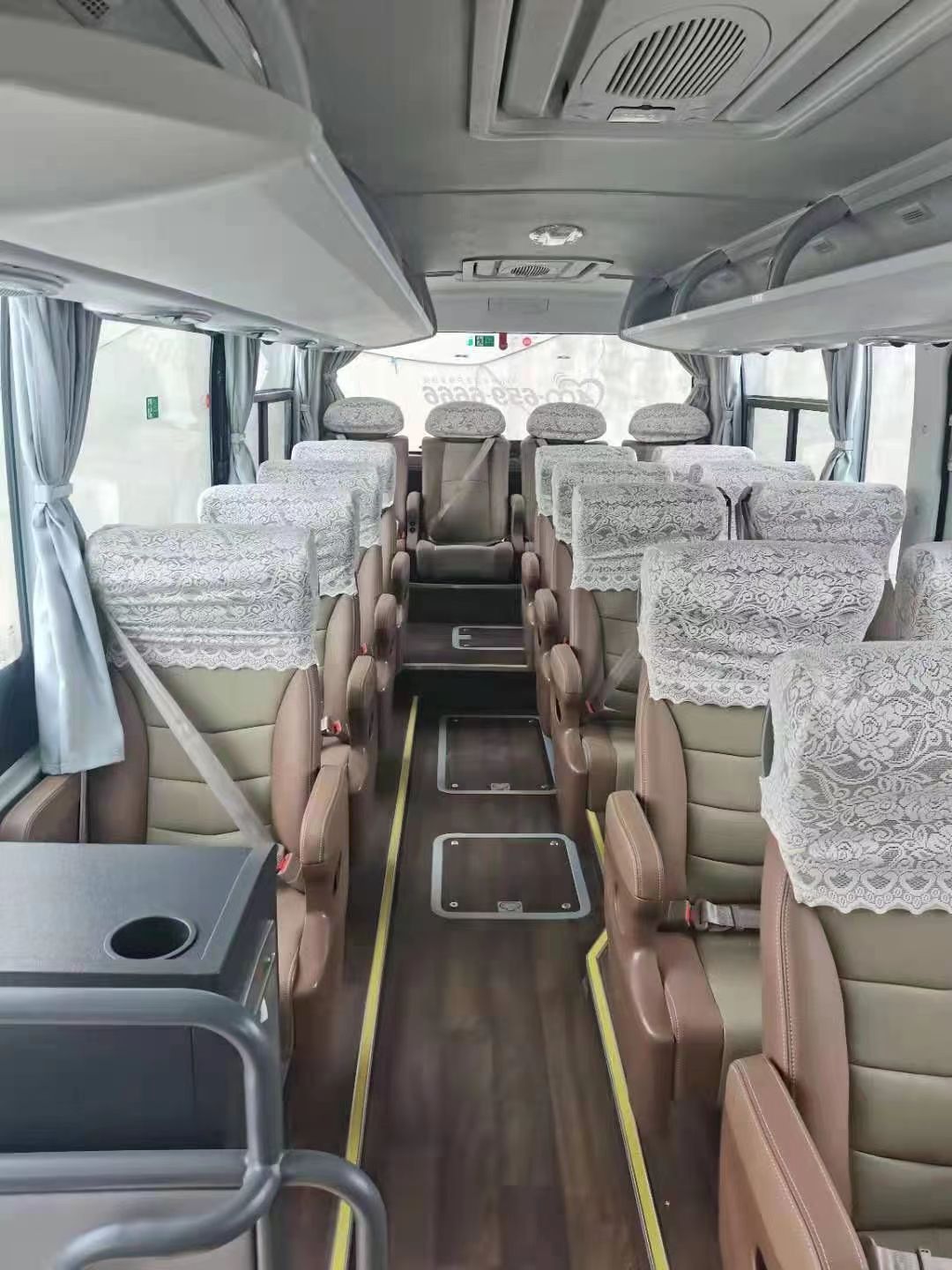

Galaxy in the Lens · Cloud-Topped Kashgar: A 2026 In-Depth Aerial and Travel Photography Experience GuideInteraction with Intangible Cultural Heritage of Local People:Visit the eagle flute craftsman in Waqia Township to photograph the contrast between the carving process and the performance of the finished instrument.
Starry Sky Camp on the Pamir Plateau:At night, on the observatory at an altitude of 3,800 meters, use an equatorial mount to assist in photographing the Milky Way alongside the lights of the ancient city.
II. Four-Day Itinerary Framework (Subject to Change Based on Weather Conditions)
(Icon:✈️)
[Day 1:Decoding the Ancient City’s DNA]
Morning:After a dedicated airport pickup, check into an oxygen-supplied hotel in Kashgar City (to acclimate to the altitude), participate in the 10:30 ancient city gate-opening ceremony, with drone follow-shots of the ceremonial guard procession.
Afternoon:Photograph the architectural details of the Id Kah Mosque, focusing on recording the dome patterns and light and shadow changes; capture candid shots of the humanities on Khan Bazaar Food Street, including scenes of baking mantou (steamed buns) and on-site craftspeople.
Evening:Travel photography in Rainbow Lane (providing 3 sets of traditional attire of local people of all ethnic groups), after 6:30 PM, capture the panoramic sunset of the ancient city, with drones ascending to 500 meters to capture the “ocean of golden roofs” experience.
Night:Indoor photography at the century-old tea house, recording vivid scenes of tea drinkers playing the rawap (a stringed instrument) and dancing the Sama.
[Day 2:Double Scenery Linkage of Baisha Lake and Muztagh Ata]
Morning:Proceed along the China-Pakistan Friendship Highway, making a brief stop at the Oytag Glacier Park to photograph the red valley landscape, with drones recording the depth of field as the convoy traverses the red canyon.
Noon:Photography at the secret spot on the north shore of Baisha Lake (including a short off-road journey), simultaneously conducting ground travel photography and aerial shots, focusing on capturing the reflection relationship between people and the lake water.
Afternoon:After lunch at the Karakul Lake camp, photograph the glacier group of Muztagh Ata, with drones ascending to an altitude of 6,000 meters (requiring airspace notification) to capture the full view of the glaciers.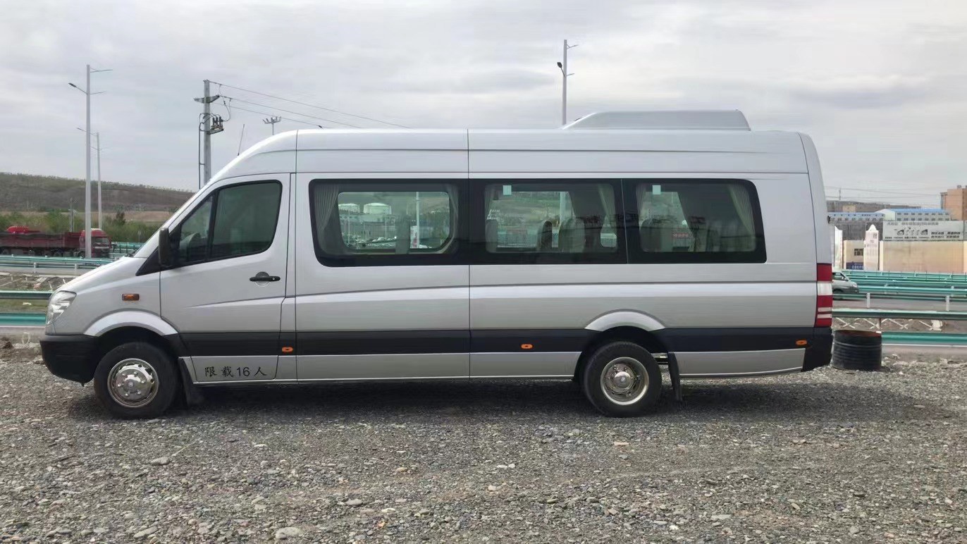
(Icon: 🌄) Kashgar, a millennium-old city embraced by the Pamir Plateau, welcomes travelers from a brand-new perspective—when drones ascend to a kilometer high, the winding streets of the ancient city transform into golden ribbons, while the snow-capped peak of Muztagh Ata and the blue waves of Baisha Lake form a natural frame, with the yurts of local people of all ethnic groups scattered like pearls across the plateau. In 2026, we integrate aerial photography technology with professional travel photography services to launch a themed route titled “High-Altitude Valley Panoramic Views from Above,” taking you to unlock the three-dimensional beauty of Kashgar from a unique perspective.Evening:Return to Tashkurgan County to photograph the transition from dusk to night at the Stone City ruins and Golden Grassland.
[Day 3:Winding Road and Tash River Valley]
Morning:Depart at 6:30 AM to photograph the sunrise at the Winding Road, with drones flying along the central axis of the highway, simultaneously recording dual-perspective shots of the ground convoy and aerial views.
Noon:Experience at the eagle flute workshop in Waqia Township, photographing the contrast between the carving process and the performance of the finished instrument.
Afternoon:Photograph the poplar forests in the Tashkurgan River Valley (autumn exclusive), using low-altitude flights to capture the canopy textures, while the ground team captures interactive scenes between people and the poplars.
Evening:On the return journey to Kashgar, photograph the sunset over the golden mountains of Kongur Tiope.
[Day 4:Creative Day at the Starry Sky Camp]
Night:Arrive at the Pamir Plateau Starry Sky Camp at 10:00 PM, with drones photographing the Milky Way alongside the lights of the ancient city, while the ground team uses professional astronomical telescopes to assist in composition.
Early Next Morning:Photograph the sunrise over the golden mountains of Muztagh Ata at 5:30 AM, with drones taking off from the camp to capture the snowy mountain silhouette amidst the morning mist.
Morning:Return to Kashgar City for free activities or shopping for souvenirs such as Atlas silk and copperware.
III. Pricing System Explanation (Reference for 2026)
(Icon:💰)
Basic Package:12,800 yuan per person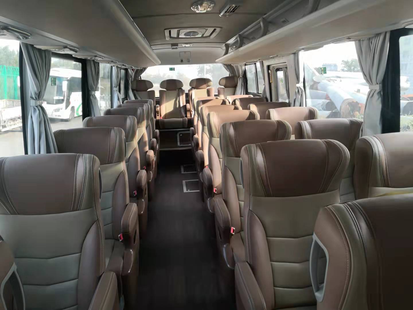
I. Core Highlights of the Route: From the Alleys of the Ancient City to the Summit of the Snowy MountainsIncludes: 4 days of professional aerial photography services (including drone equipment and operators), ground travel photography team (photographer + makeup artist), 3 nights at an oxygen-supplied hotel in Kashgar City, 1 night at an economy hotel in Tashkurgan County, transportation within the itinerary (5-seater SUV), first entrance tickets to scenic spots, 10 retouched photos + a 30-second short video.
Upgrade Package:18,800 yuan per person
On the basis of the basic package, adds:
Accommodation upgraded to boutique homestays in Kashgar Ancient City + high-end scenic hotels in Tashkurgan County
Attire upgraded to custom Atlas silk clothing (2 sets per person)
Number of retouched photos increased to 30 + a 3-minute microfilm
Additional professional astronomical photography guidance at the starry sky camp
High-End Customization:28,800 yuan per person (minimum 2 people)
Includes:
Full-time dedicated photographer + dual drone positions for follow-shots
Accommodation upgraded to InterContinental Kashgar + Ramada Snow Mountain Room in Tashkurgan County
Attire provided as handmade clothing by intangible cultural heritage inheritors (3 sets per person)
Number of retouched photos increased to 50 + an 8-minute documentary-style short film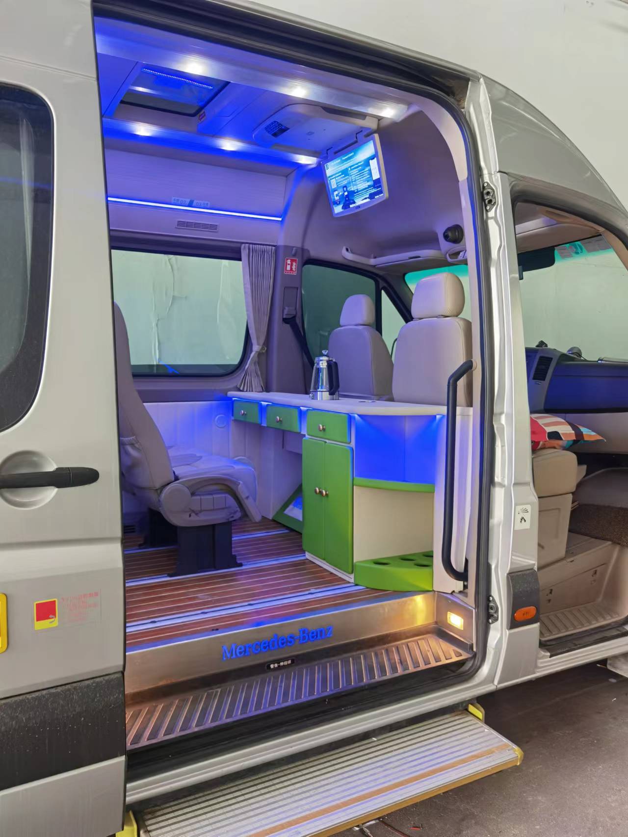
(Icon: 📸) Additional photography experience at a wedding of local people of all ethnic groups (requires 30-day advance reservation)
Special Notes:
Prices may fluctuate seasonally, with a 20%-30% increase during the peak season from June to October
The final cost shall be based on the contract signed with Xinjiang Pathfinder International Travel Agency
For solo registrants, efforts will be made to coordinate shared rooms; special circumstances require negotiation for additional fees
IV. Service Guarantee System
(Icon:🛡️)
Professional Team:
Aerial Photography Team:CAAC-licensed drone operators with an average flight time exceeding 500 hours
Travel Photography Team:Photographers certified by the Xinjiang Photographers Association, familiar with the light and shadow patterns of Southern Xinjiang
Logistics Team:Equipped with high-altitude first aid kits and portable oxygen generators, all drivers hold high-altitude driving licenses
Equipment Standards:
Aerial Photography Equipment:DJI Mavic 3 Pro (dual battery configuration) + Inspire 3 (alternative)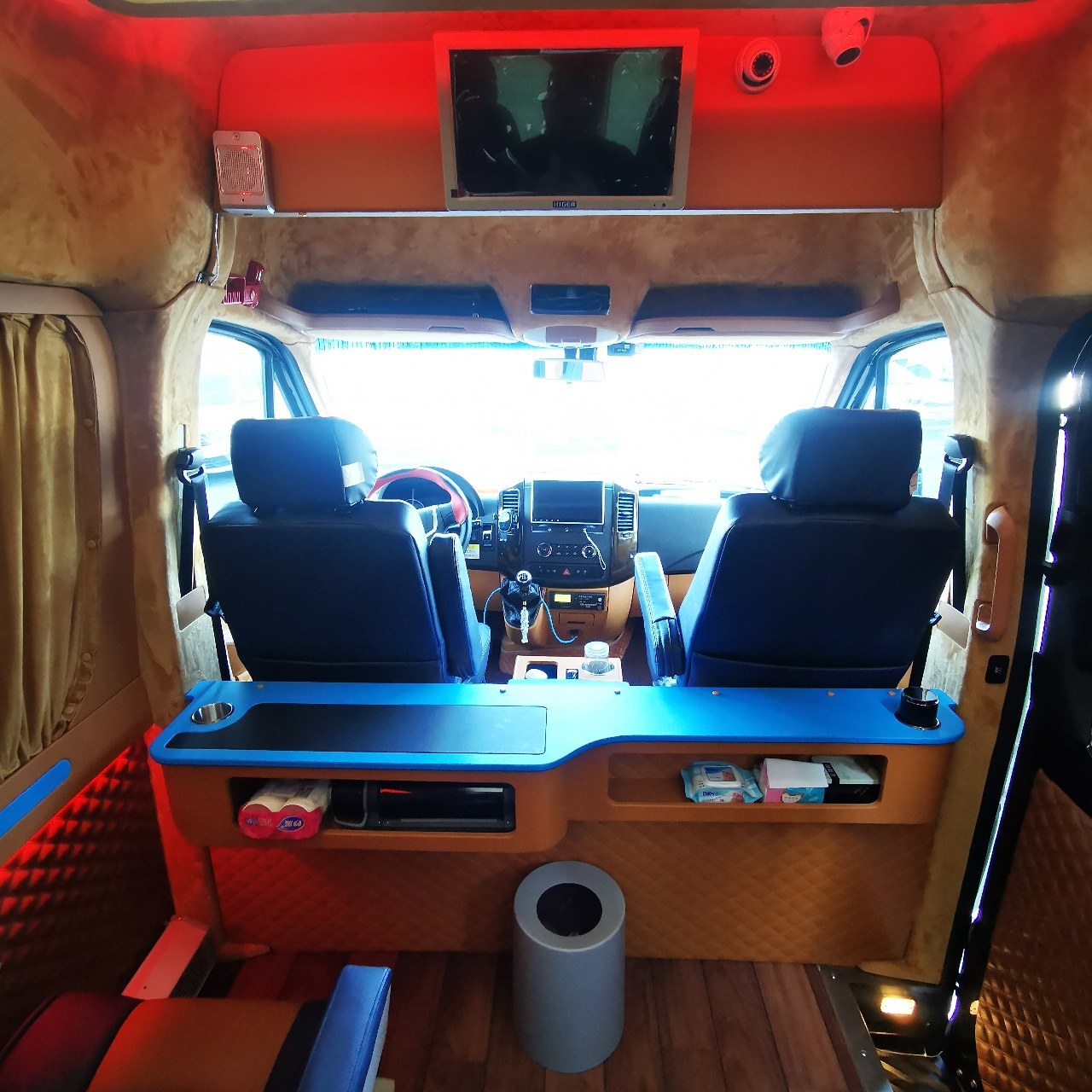
Full Aerial Photography Coverage: Each group is equipped with a professional drone operator using devices such as the DJI Mavic 3 Pro or Inspire 3, supporting 4K/60fps video recording and 100-megapixel panoramic synthesis.Ground Equipment:Sony A7R V + 70-200mm F2.8 lens (portrait group), Nikon Z9 + 14-24mm F2.8 lens (landscape group)
Auxiliary Equipment:DJI Ronin 4D stabilizer, Atomos Ninja V+ monitor, professional film lighting group
Risk Service Guidance:
Purchase 800,000 yuan in travel accident insurance for each participant
Check vehicle braking systems and tire conditions daily before departure
In case of extreme weather, both parties negotiate to change the shooting sequence or activate backup positions
V. Registration and Consultation
(Icon:📞)
Registration can be made through Xinjiang Pathfinder International Travel Agency; consult Customer Service Manager Zhang Jing for specific departure dates and availability.
Special Tips:
A permit is required in advance for the Pamir Plateau region (can be obtained free of charge at the Kashgar International Self-Drive Travel and Caravan Camp)
July-August is the peak tourist season; it is recommended to reserve the high-end customization package at least 45 days in advance
Drone flights must comply with the “Regulations on the Management of Civil Unmanned Aerial Vehicles in Xinjiang Region,” with airspace notification required for certain areas
(Ending Icon: ✨) As drones soar past the snow line of Muztagh Ata and the lens captures the moment when a girl of local people of all ethnic groups lifts her headscarf, this journey that blends technology and humanities is redefining the visual narrative of Kashgar. In 2026, let us write your Western Region imagery poem from a cloud-top perspective.
Contact Manager Wang Fei at 18095969599 or WeChat 18095969599 to send itinerary and quotation.


